
Westridge Lake Estates HOA
Shakopee, Minnesota 55379
This is the official website for the WLEHOA. We are located on the far south side of the city of Shakopee, Minnesota. Our development is located on the south side of Lake O’Dowd and comprises a total of 58 lots; 34 being lakeshore lots. The primary responsibility for our HOA is for the management, upkeep & care of the development’s two community wells, well house, & water delivery infrastructure.
The lake over time
The same 1.5 km square, north up, with County Road 44 along the bottom. The right side stays on spring 2026. The left side walks through earlier years.
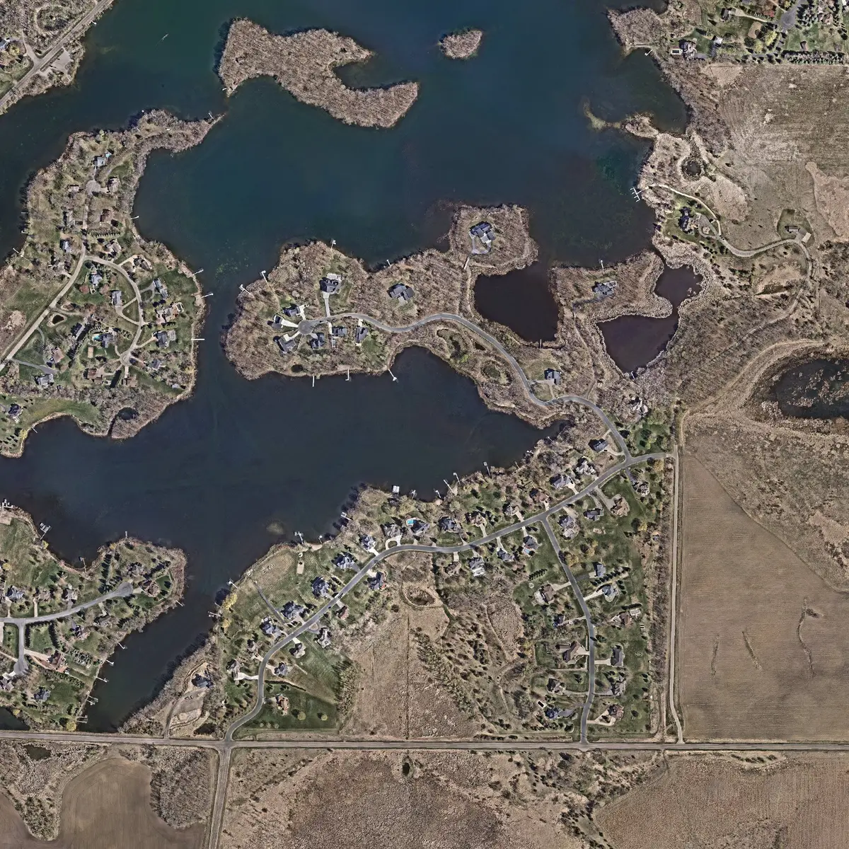
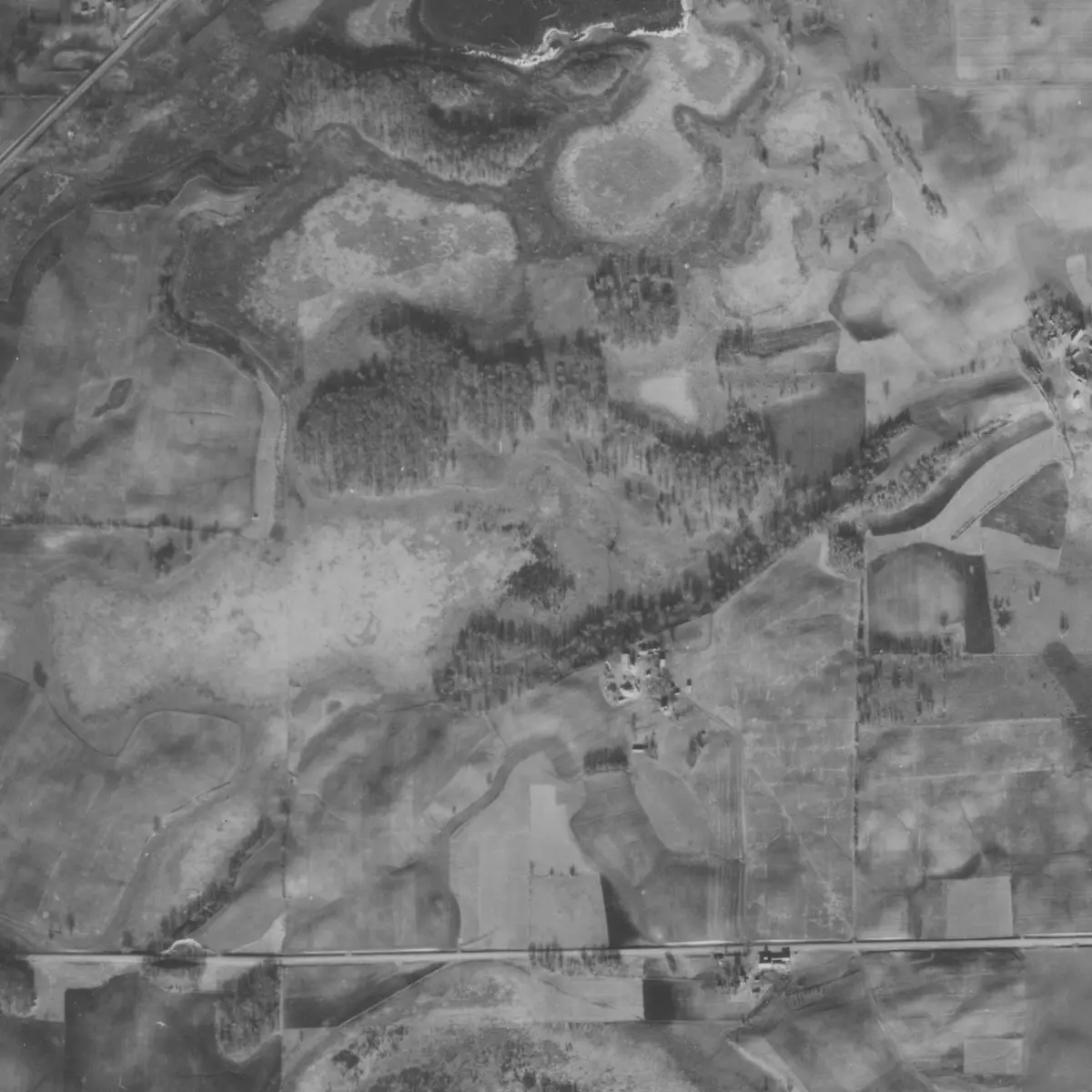
Drag the line left or right. Swipe up or down to scroll the page.
Paused on 1937. USDA aerial photograph, Minnesota Historical Aerial Photographs Online, John R. Borchert Map Library, University of Minnesota. Right side: Today (2026). Scott County GIS, spring 2026.
Sources: USDA, including the National Agriculture Imagery Program; the Minnesota Historical Aerial Photographs Online collection and the John R. Borchert Map Library at the University of Minnesota; Scott County GIS; USGS; Metropolitan Council and MnGeo.